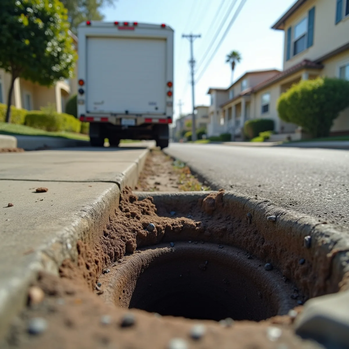
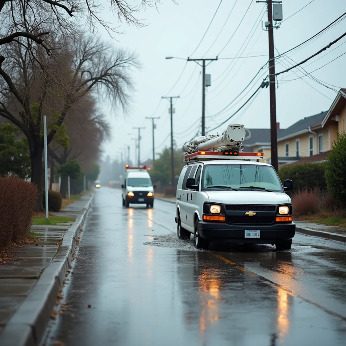
If you own a home in what's often called "Old Lakewood City" — the original tract built in the early 1950s — flood-risk modeling from First Street puts your neighborhood's current exposure at approximately 15% of properties facing meaningful flood risk. By 2055, that same modeling projects the figure climbing to roughly 17.6%, driven largely by shifting rainfall patterns.
Those aren't scare numbers pulled from a press release. They come from property-level flood modeling that factors in elevation, drainage capacity, storm frequency, and climate projections. For a city built entirely on flat, slab-on-grade tract land, they're worth taking seriously.
This post walks through what's behind that percentage, why it's projected to grow, and what it practically means for a homeowner deciding how much to worry about the next big storm.
Where the 15% and 17.6% figures come from
First Street's flood-risk data models properties individually rather than relying only on FEMA's older flood-zone maps, which many housing researchers consider outdated for areas that have changed since original mapping. For Old Lakewood City, that model currently places about 15% of properties at meaningful risk of flooding in a given year — not a catastrophic flood, but water intrusion serious enough to cause real damage.
The projection to roughly 17.6% by 2055 reflects expected changes in storm intensity and frequency tied to a warming climate, not new construction or rezoning. Southern California's storm pattern is trending toward fewer, more intense rain events rather than a steady drizzle — and intense, concentrated rainfall is exactly what overwhelms flat-terrain drainage systems fastest.
A roughly 2.6-point increase over thirty years might sound modest. Applied across a city of about 17,500 homes, it represents hundreds of additional properties crossing into meaningful flood exposure that aren't there today.
Why flat, slab-on-grade terrain makes this worse
Lakewood was built fast — around 75 houses a day during peak construction — on flat former farmland with minimal grading variation. Flat terrain has an obvious drawback in a storm: there's little natural slope to move water away from structures. It has to rely almost entirely on street drainage and storm infrastructure to get water off residential lots.
Every home in the original tract is slab-on-grade, meaning the concrete floor sits at or very near grade level. There's no raised foundation buffer between the yard and the living space. When street drainage is overwhelmed even briefly, water pooling against a slab-on-grade home has a much shorter path to the interior than it would with a raised foundation.
Older residents of Lakewood Village and the surrounding original tract have described this pattern going back decades — water pooling curb-to-curb during heavy rain, occasionally deep enough that neighborhood kids paddled small boats down the street. That's not a modern phenomenon; it's a structural feature of how the city was graded from day one.
What raises risk on top of the baseline percentage
- Storm-drain capacity designed decades ago, sized for storm patterns that no longer match current rainfall intensity
- Adobe clay soil that absorbs water slowly, so saturated ground sheds rainfall onto streets and lots instead of into the ground
- Aging galvanized supply pipe and sewer laterals that can back up or fail under storm-driven pressure, compounding surface flooding with interior plumbing issues
- Low-lying stretches within the original tract where minor grading differences concentrate runoff toward specific blocks
If your property sits on a documented flood-risk list, ask your insurance agent directly whether your policy includes flood coverage — standard homeowners policies typically exclude it, and it's usually a separate policy entirely.
What a 15% (or 17.6%) risk actually means for you
A property-level flood risk percentage isn't a guarantee of flooding, and it isn't a reason to panic. It's a probability signal — a way of saying that, statistically, a meaningful share of homes on your kind of terrain, soil, and drainage infrastructure will see flood-related water intrusion over a given period.
What it should change is preparedness. If you're in that 15% today, it's worth knowing where water tends to pool on your property, whether your yard grading slopes toward or away from your foundation, and whether your storm drains and gutters are clear before the winter rain season starts.
It's also worth understanding water categories if flooding does reach your home. Storm and floodwater is typically classified as Category 3 — black water — because it can carry contaminants from soil, streets, and sewage systems. That classification changes how cleanup has to be handled, and it's different from a clean supply-line leak.
If floodwater reaches your home
- Get everyone out of standing water and avoid contact with it directly — Category 3 water can carry bacteria and contaminants
- Shut off electricity to affected areas at the panel if it can be done safely without stepping into water
- Photograph the damage and standing water level for insurance documentation before any cleanup begins
- Call a restoration crew that handles Category 3 water specifically — flood cleanup requires different disposal and disinfection protocols than a clean-water leak
- Begin extraction and drying as soon as the source water stops rising, since contaminated water sitting longer increases both structural damage and health risk
Call for Flood Cleanup Anywhere in Lakewood Village
Whether your property falls inside that 15% today or the projected 17.6% by 2055, floodwater doesn't wait for a convenient time to show up. Our flood cleanup team serves Lakewood Village and the rest of Old Lakewood City 24/7, typically arriving within about 60 minutes to start extraction before contaminated water spreads further. Call Water Damage Lakewood at +1 (201) 277-9344.
Related help from our team
Frequently Asked Questions
Is 'Old Lakewood City' an official flood zone designation?
No — it's a common shorthand for the original tract developed in the early 1950s, distinct from areas annexed or developed later. Flood-risk data providers like First Street model risk at the individual property level rather than by informal neighborhood names, so your specific address may sit above or below the roughly 15% neighborhood-wide figure depending on its elevation and drainage.
Does standard homeowners insurance cover flood damage in Lakewood?
Typically not. Most standard homeowners policies specifically exclude flood damage, defining it as water that enters from outside the structure rather than from a plumbing failure inside it. Flood coverage is usually a separate policy, often through the National Flood Insurance Program or a private flood carrier. Check your own policy declarations page or ask your agent directly — don't assume either way.
What should I do to prepare before the risk climbs toward 2055 levels?
Start with what's controllable now: clear gutters and storm drains before the rainy season, confirm your yard grades away from your foundation, and know where your main water shut-off is. Longer term, some homeowners look into flood-vent options, sump systems, or elevation certificates. A licensed contractor or drainage specialist can advise on structural options — we handle the cleanup and drying side if water does get in.