Lakewood wasn't built on a hillside or a well-drained bluff. It was built, almost overnight, on flat former dairy and agricultural land that developers Weingart, Taper, and Boyar converted into roughly 17,500 tract homes between 1950 and 1953, at a construction pace of about 75 houses a day.
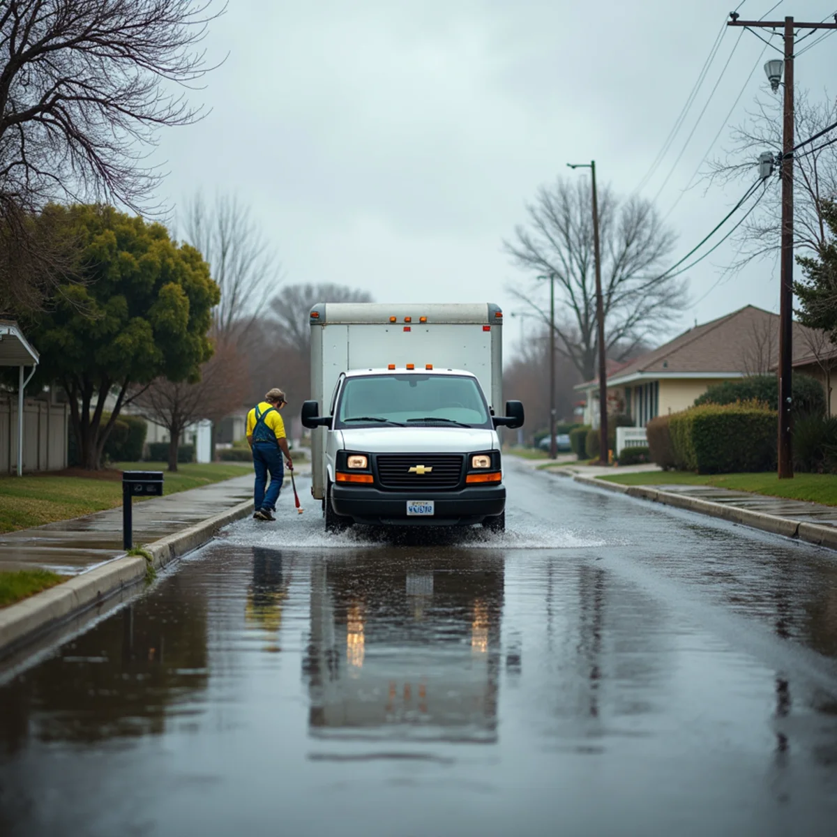
That speed is famous. What's talked about less is what happened to all that flat land's drainage once it was paved over. Early residents' own accounts describe a recurring scene after heavy rain: streets flooded curb-to-curb, sometimes deep enough for kids to paddle small boats down the block.
That history isn't just a curiosity. It's a direct explanation for why storm drainage in the original tract still struggles today, more than seventy years later.
What the land was before Lakewood
The area that became Lakewood was largely open agricultural and dairy land through the 1940s — flat, low-relief terrain typical of the coastal plain in this part of Los Angeles County. Flat land drains slowly by nature; without hills or slope, water has nowhere obvious to go except into the soil or across the surface toward a low point.
The soil itself compounded that. Much of the area sits on adobe clay, a soil type that absorbs water slowly and swells when saturated. On open farmland, that was manageable — water had time and space to sit and gradually soak in or evaporate between storms.
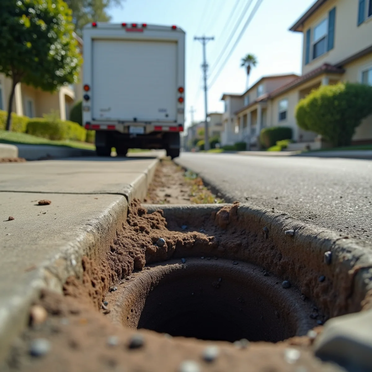
Once that same flat, clay-heavy land was covered with roughly 17,500 homes, driveways, and streets in a span of a few years, the equation changed. Impervious surfaces don't let water soak in at all. All of it had to go somewhere else, fast — into a storm drain system designed and built at the same breakneck pace as the houses above it.
What early residents remember
Longtime residents who moved into Lakewood in its first years describe storms that turned their new streets into shallow rivers. Water would rise from curb to curb, sometimes lingering for hours after the rain stopped, with kids treating it as a novelty and paddling boats or floating toys down what was normally a quiet residential block.
Those weren't isolated, one-time events tied to an unusual storm. They were common enough to become a shared memory across the original tract, told the same way by residents in different neighborhoods within the city — a sign that the flooding pattern was structural, not a fluke.
It's a useful reminder that Lakewood's flood exposure isn't a new problem introduced by climate change alone. The city's flat grading, clay soil, and rapid drainage-system construction created a baseline vulnerability from day one. What's changed since is the intensity and frequency of the storms testing that same infrastructure.
Why the drainage system built in the 1950s still matters today
Lakewood's municipal services, including much of its infrastructure planning, run through what's known as the Lakewood Plan — the city's arrangement of contracting with Los Angeles County for services like sewer maintenance, fire, and libraries rather than running large separate municipal departments. Storm and sewer infrastructure installed during the original build-out has, in many areas, aged within that same county-contracted system for over seven decades.
Pipe and drain infrastructure doesn't have an unlimited lifespan. Concrete and clay storm drains installed in the early 1950s are now well past the design life typically assumed for that era's materials. Aging capacity combined with today's more intense, concentrated storm events is a documented contributor to modern urban flooding across LA County, including the roughly 10 atmospheric river events that hit the region in a three-week span during the 2022–2023 winter season.
The result is a neighborhood like Mayfair, part of the original tract, still dealing with the same fundamental drainage physics its first residents saw in the 1950s — flat land, slow-draining soil, and a storm system that was engineered for a different rainfall pattern than it faces now.
What this means for homeowners today
- Streets flooding curb-to-curb during a heavy storm isn't unusual in Lakewood's original tract — it has precedent going back to the neighborhood's earliest years
- Storm drains and gutters that are even partially blocked can meaningfully worsen how fast water clears from a street or yard
- Yard grading that was adequate in the 1950s may have settled or changed over decades and no longer directs water away from the foundation
- A slab-on-grade home has very little buffer between exterior floodwater and interior flooring — water doesn't need to rise far to get inside
Walk your property during the next moderate rain (not a major storm) and watch where water actually pools. That fifteen minutes of observation tells you more about your real flood risk than any map.
If storm or floodwater does reach your home
Water that enters from outside — off a flooded street, through a low point in the yard, or backing up from an overwhelmed storm drain — is generally treated as Category 3, or black water, because it can carry soil contaminants, road runoff, and in some cases sewage. That's a different cleanup process than a clean interior leak, requiring more thorough disinfection and, in many cases, removal of porous materials that absorbed the water.
Speed still matters even with contaminated water. Mold can begin developing in wet material within 24 to 48 hours, and that clock doesn't pause because the source was a flooded street instead of a broken pipe. The sooner extraction and drying start, the smaller the area of material that ends up needing replacement instead of just cleaning.
Call for Flood Cleanup in Mayfair
The drainage challenges Lakewood's earliest residents described in the 1950s haven't disappeared, and a flooded street today can reach a home just as fast as it did then. Our flood cleanup team serves Mayfair and the rest of the original tract 24/7, typically on-site within about 60 minutes to start extraction before contaminated water spreads further. Call Water Damage Lakewood at +1 (201) 277-9344.
Related help from our team
Frequently Asked Questions
Is Lakewood more flood-prone than nearby cities because of its history?
Lakewood's flat terrain, clay soil, and rapid 1950s build-out created drainage challenges that are well documented in resident accounts and current flood-risk modeling, but it's not uniquely prone compared to other flat coastal-plain cities in the Gateway Cities region. Many neighboring communities share similar terrain and infrastructure age. What sets Lakewood apart is how uniform its construction era and lot layout are, which means drainage patterns tend to repeat consistently across the original tract.
Has the city upgraded storm drains since the 1950s?
Infrastructure maintenance and upgrades run through the county services Lakewood contracts under the Lakewood Plan, and specific project history is best confirmed directly with the city or LA County Public Works rather than assumed. What's consistent across flood-risk data is that aging storm infrastructure paired with more intense modern storms is a factor in urban flooding across LA County generally, not just Lakewood specifically.
What's the first thing to do if my street floods and water reaches my house?
Avoid walking through standing water if you can't confirm its depth or what's under it, shut off electricity to affected rooms at the panel if that can be done safely, and call a restoration company experienced with contaminated water as soon as possible. The faster extraction starts, the less material typically needs to be removed rather than dried and cleaned in place.